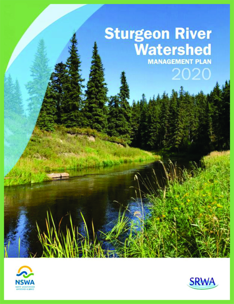
The Sturgeon River, approximately 260 kilometres long, arises from a number of small tributaries and lakes southwest of Lake Isle in the Sturgeon River subwatershed. The river then runs northeast, flowing through Lake Isle, Lac Ste. Anne, Matchayaw (Devil’s) Lake, Big Lake, St. Albert and Gibbons, before joining the North Saskatchewan River near Fort Saskatchewan, Alberta.
This watershed management plan puts in place an iterative and adaptive management process with clear goals and performance measures and ongoing monitoring and assessment to ensure goals are met. It is a tool designed to help align and coordinate actions by various players in the watershed.
For more information visit the Sturgeon River Watershed Alliance.
