The WaterSHED Monitoring Program is a unique partnership between Alberta Environment and Parks, EPCOR, North Saskatchewan Watershed Alliance and the City of Edmonton.
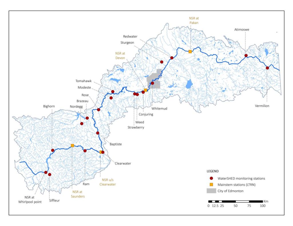
By combining and coordinating resources, we’ve created the North Saskatchewan River’s most comprehensive river monitoring program. It encompasses 20 monitoring stations from the headwaters of the North Saskatchewan River to the Saskatchewan Border.
The North Saskatchewan River is the source of drinking water for more than 65 communities (including Edmonton) in the capital region. The WaterSHED monitoring project is funded by a 5-year commitment (2022-2026) from EPCOR and in-kind support from Alberta Environment and Parks, North Saskatchewan Watershed Alliance and the City of Edmonton.
This program improves data collection both upstream and downstream of Edmonton, allowing all partners to make informed decisions for protecting and preserving water in the North Saskatchewan River.
![]()

![]()
![]()
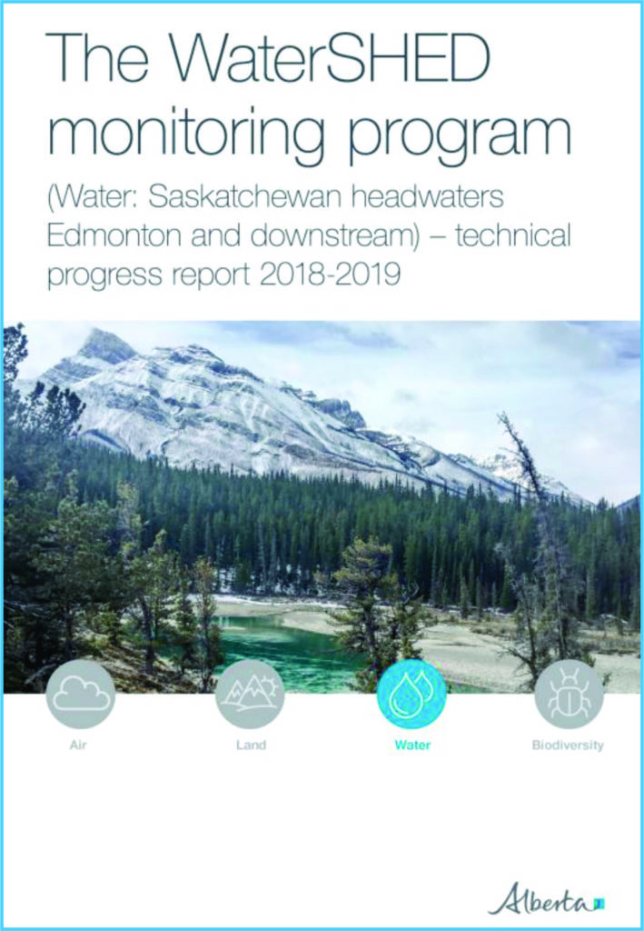
REPORT 1: Watershed monitoring program technical progress report 2018-2019
REPORT 2: WATERSHED MONITORING PROGRAM TECHNICAL PROGRESS REPORT 2018-2021
This report provides a technical overview of the WaterSHED Monitoring Program design and implementation, as well as preliminary findings after the first year of data collection (2019).
The WaterSHED Monitoring Program’s collaborative approach to aquatic ecosystem monitoring at a large river basin scale is unique to Alberta. The critical data produced by this program supports multiple land and water management initiatives.
These include:
- The Integrated Watershed Management Plan for the North Saskatchewan River in Alberta (NSWA, 2012)
- The Water Management Framework for the Industrial Heartland and Capital Region (AEP, 2008; McDonald, 2013)
- The River For Life Strategy (City of Edmonton)
- EPCOR’s Source Water Protection Plan (EPCOR, 2020)
- The North Saskatchewan Regional Plan (currently under development; AEP, 2014)
WaterSHED Monitoring Program Objectives
- Create the North Saskatchewan River’s most extensive river monitoring program in terms of length of study, geographical area and breadth of water quality parameters and indicators of ecological health.
- Fill knowledge gaps about the North Saskatchewan Watershed. This information will be used by all key stakeholders to help protect Edmonton’s source water and maintain or improve water quality and aquatic ecosystem health in the North Saskatchewan River and its tributaries by better informing land use planning, and river and watershed management.
- Generate real-time data from a network of monitoring stations to be used to help anticipate, identify, and respond to changes in water quality.
- Develop and improve water quality and quantity models for the NSR. These models will help decision-makers predict how water quality and quantity will change under various scenarios involving change in climate, population, land use, wildfire frequency, flow, and effluent discharges.
Monitoring Stations Camera Links
Photos are taken & posted daily on these tributaries
Time Lapse Videos
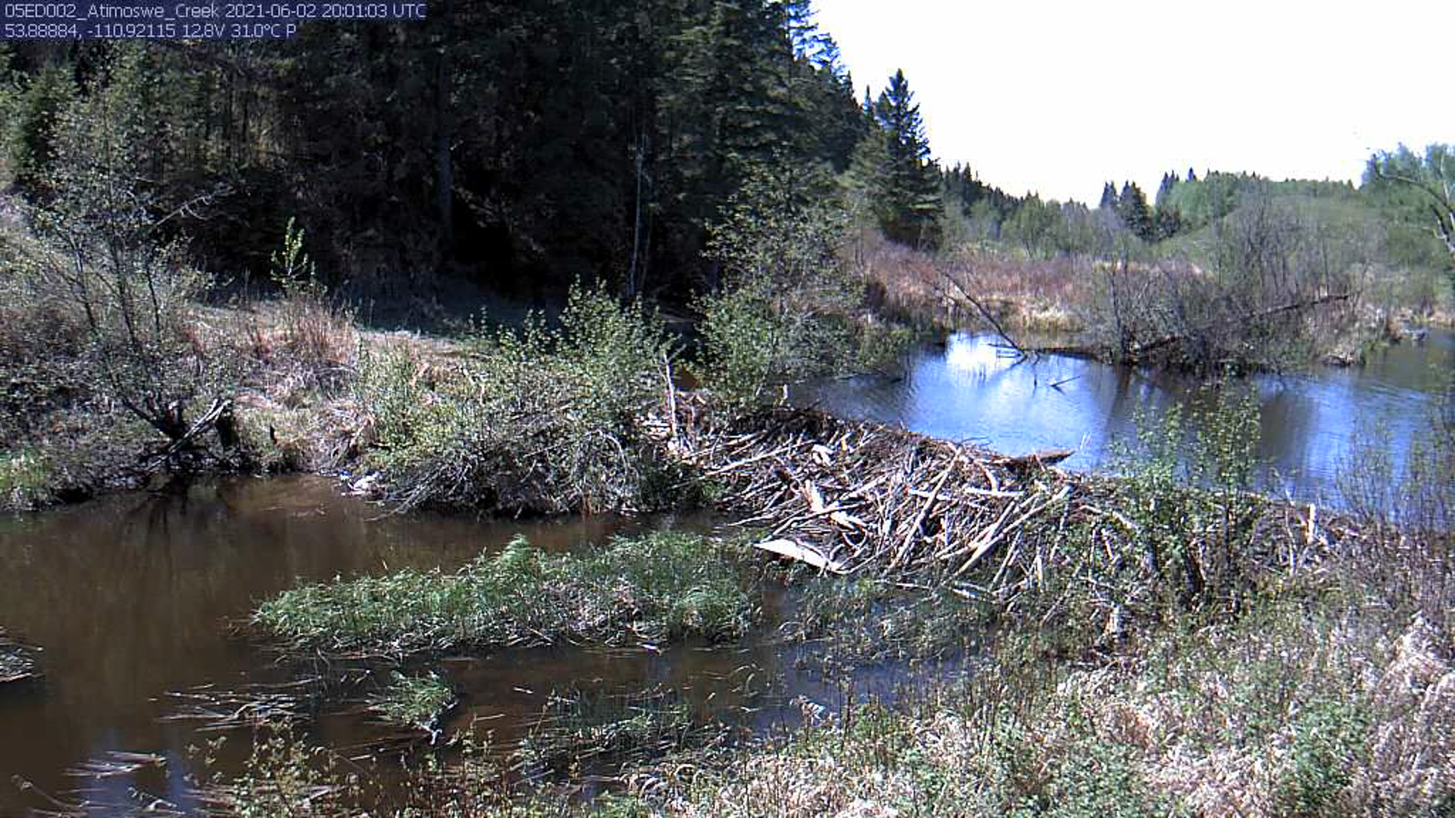
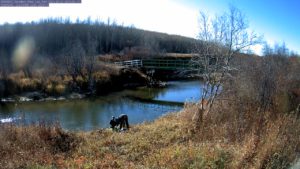
Atimoswe Creek
See a full year of photographs taken at the Atimoswe Creek water quality monitoring station.
Atimoswe Creek feeds into the North Saskatchewan River and is located in the Frog subwatershed near Elk Point, about 175 km east of Edmonton. It is a prairie fed creek, with flow contributions from spring runoff and summer storms. This video includes a compilation of photographs taken from the Atimoswe Creek monitoring station from January 2021 to July 2022 and a graph of the Average Daily Flow throughout this time.
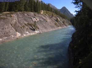
Siffleur River
See a full year of photographs taken at the Siffleur River water quality monitoring station. This station is located in the headwaters of the North Saskatchewan River in the Cline subwatershed.
Vermilion River
See a full year of photographs taken at the Vermilion River water quality monitoring station. The station is located near Lea Park and is in the Vermilion subwatershed.
Find more information on the monitoring stations at Alberta Environment and Parks
or Download the Alberta Rivers App
![]()