Find Your Subwatershed
What is a Watershed?
A watershed is the area of land that carries water after rain falls and snow melts through the soil, groundwater, wetlands, lakes and streams making its way into larger rivers and eventually an ocean.
The physical landscape, such as topography, geology, soils and ecosystems, form the natural characteristics of a watershed. Man-made landscapes, such as roads, cities, farms and industry, can affect the natural balance within a watershed.
We all live in a watershed.
What we do on the land impacts
the health of our watershed.
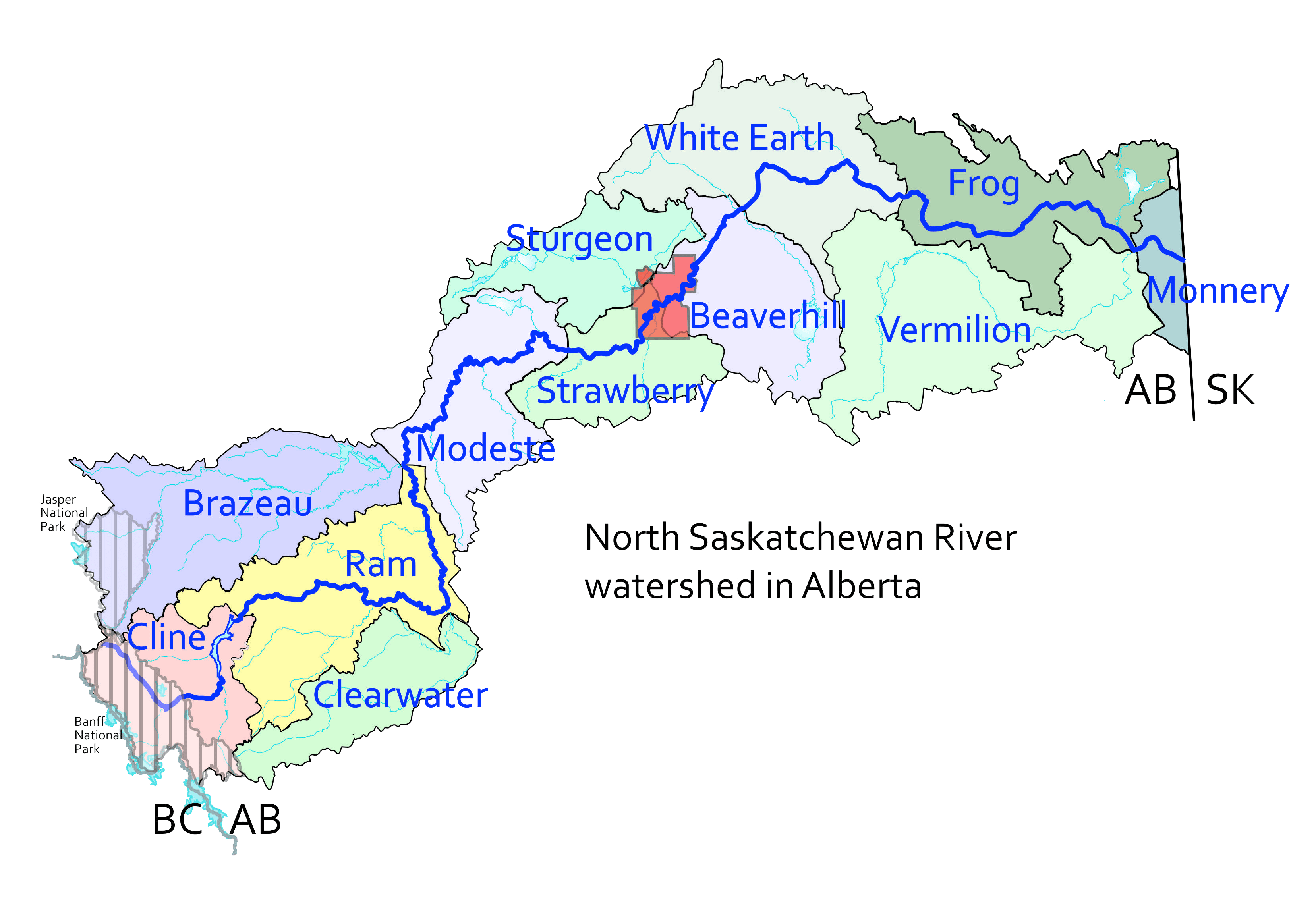
The North Saskatchewan River Watershed
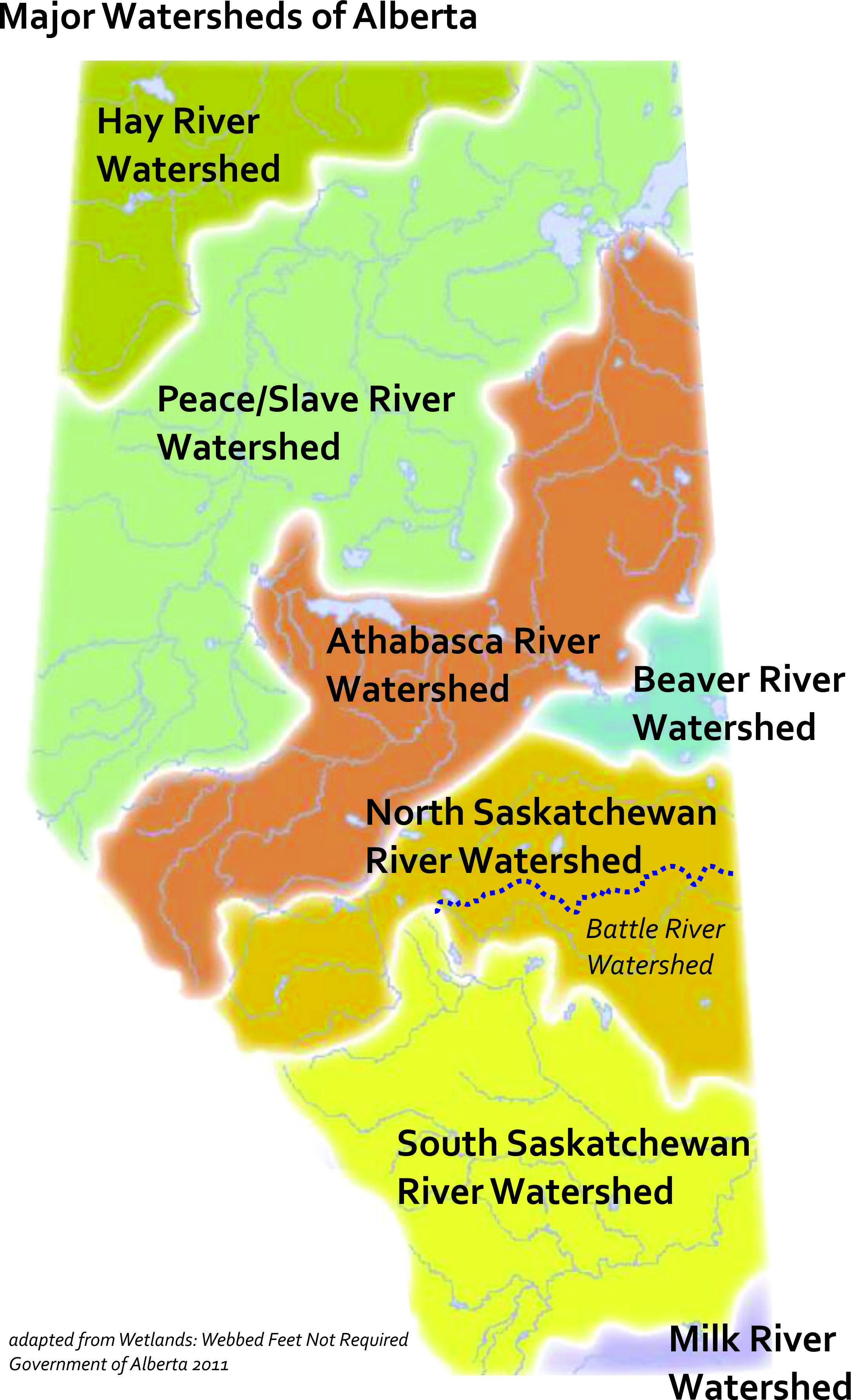
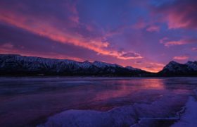
The watershed begins in the ice fields of Banff National Park and flows north easterly to the Alberta-Saskatchewan border. The watershed covers a diverse area of the province including alpine, foothills, boreal forest and parkland ecosystems.
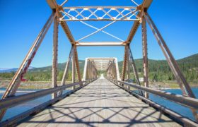
In one day, people can travel
from towering mountains,
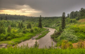
down through forested foothills,
around fens, bogs and marshes,
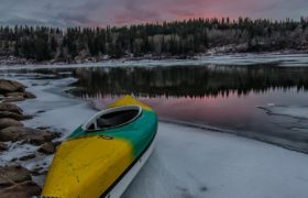
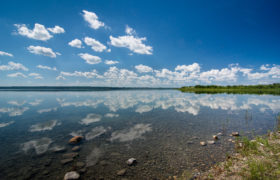
and along tributaries and lake shores.
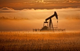
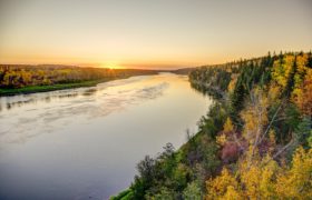
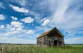
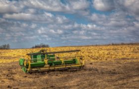
They can drive past ranches and oil pump jacks, raft through an urban area of over a million people, pass through fields of grain and canola and watch the moon rise over prairie skies.
The North Saskatchewan River eventually joins the South Saskatchewan River near Prince Albert, Saskatchewan and travels across Saskatchewan and Manitoba before draining into the Hudson’s Bay. Saskatchewan River Basin Map
Our Subwatersheds
There are twelve subwatersheds in the North Saskatchewan River watershed in Alberta. By dividing the large watershed into subwatersheds, unique areas can be managed more effectively and local watershed issues can be identified more accurately.