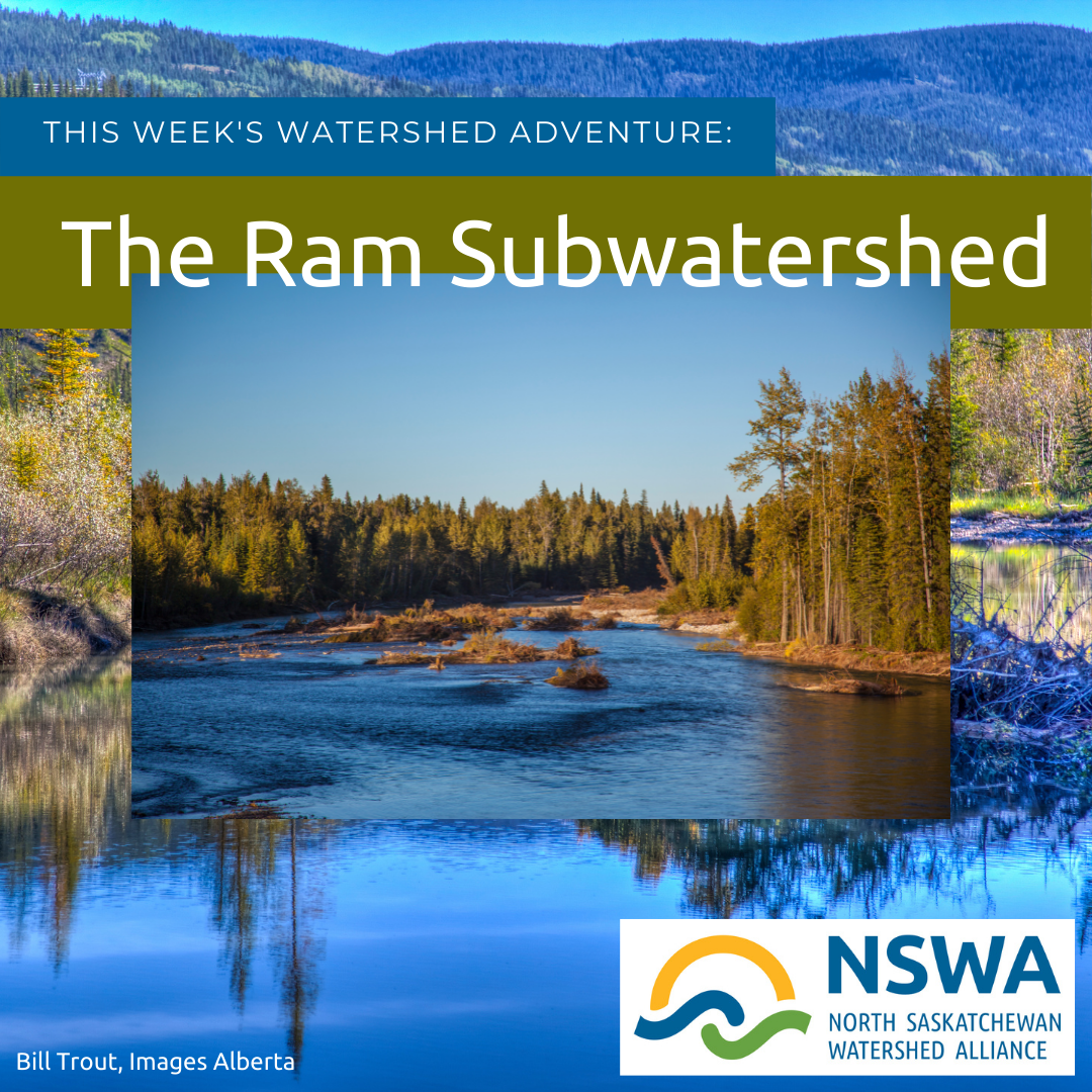
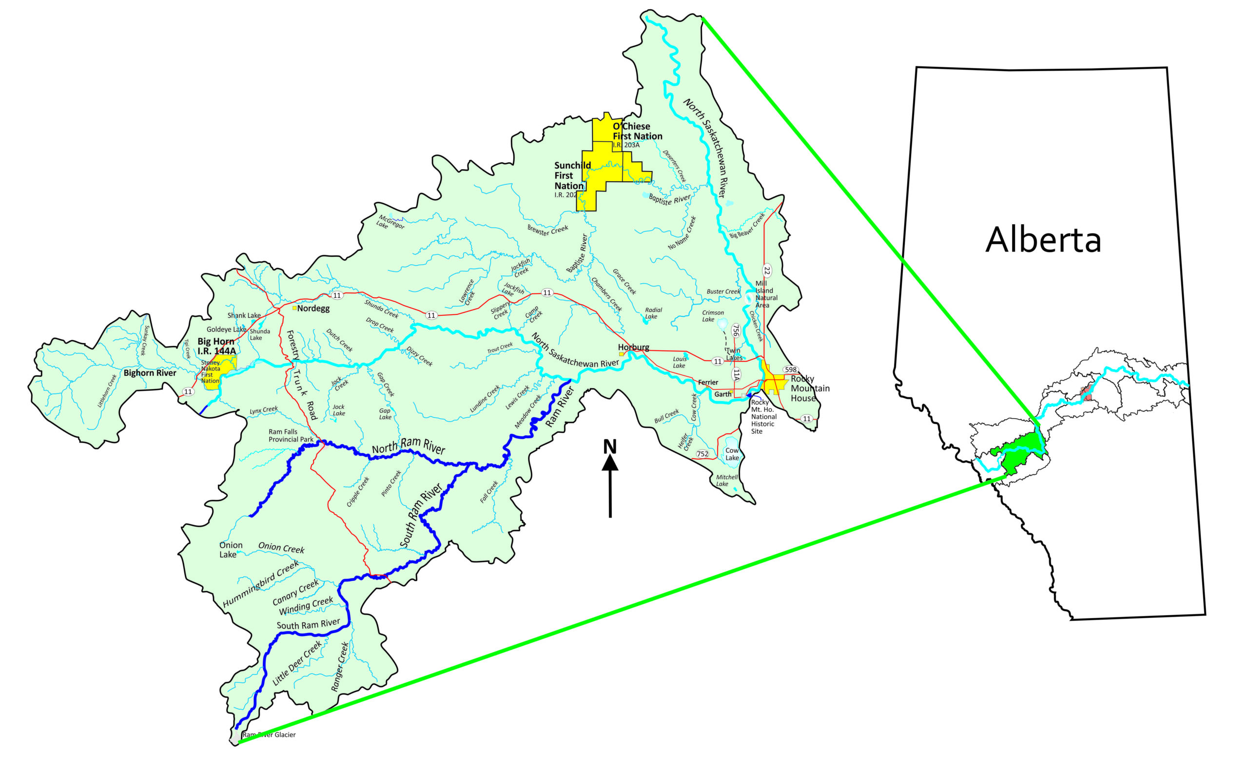
Ram subwatershed
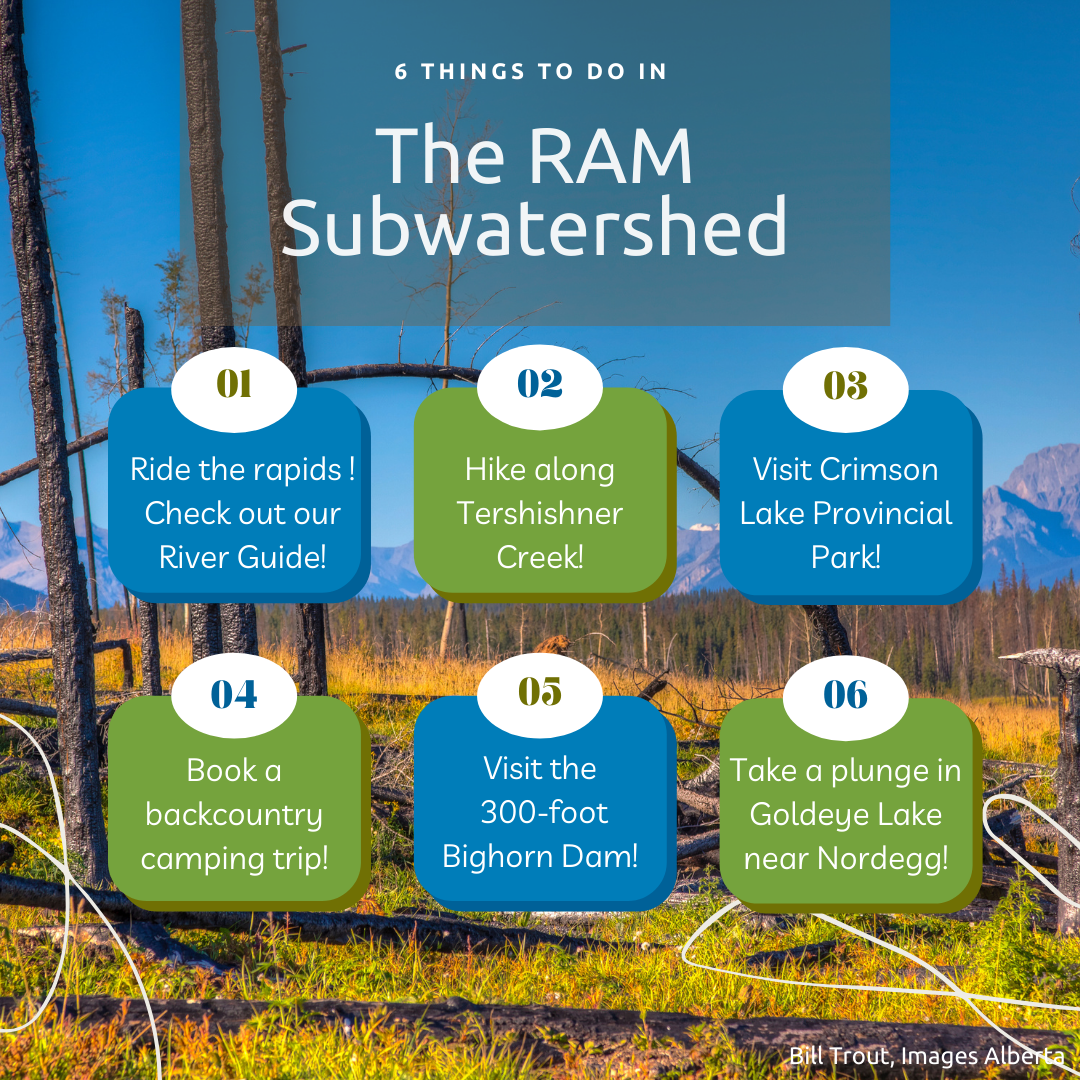
The Ram subwatershed covers 632,541 hectares of Rocky Mountain foothills, including parts of Brazeau and Clearwater Counties. Within its boundaries lie the urban areas of Rocky Mountain House as well as Nordegg; O’Chiese First Nation, Sunchild First Nation, Stoney Nakota First Nation, and Crimson Lake Provincial Park. A variety of activities take place within the watershed including tourism; oil and gas recovery; forestry; and agriculture.
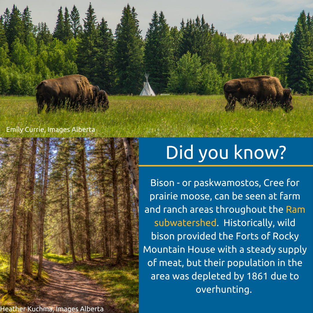
The Ram subwatershed appears to be healthy, based on studies of land use, water quality, water quantity, and the abundance of plant and animal life. Managing and protecting the Ram subwatershed requires cooperation from the forestry industry, because it has rights to the vast majority of land within the watershed. Less than 1% of the Ram subwatershed exists inside a protected area.
for more information
For more details about the Ram subwatershed, check out the chapter in the North Saskatchewan River State of the Watershed Report.
The Ram subwatershed is one of six subwatersheds focused on by THE HEADWATERS ALLIANCE, a team of rural and urban municipalities working to improve the health of the upper North Saskatchewan River watershed.
Ram Subwatershed Photos