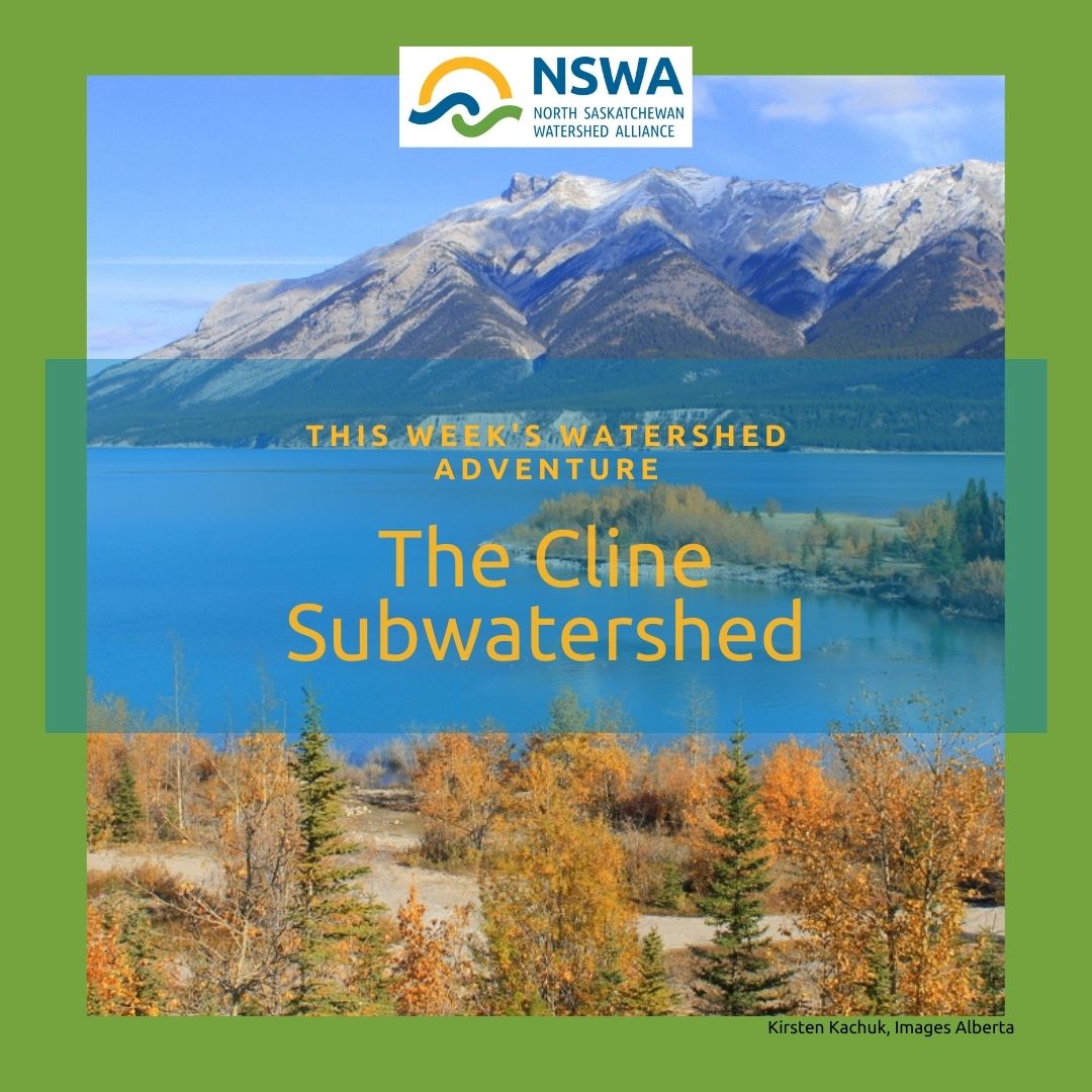
Cline
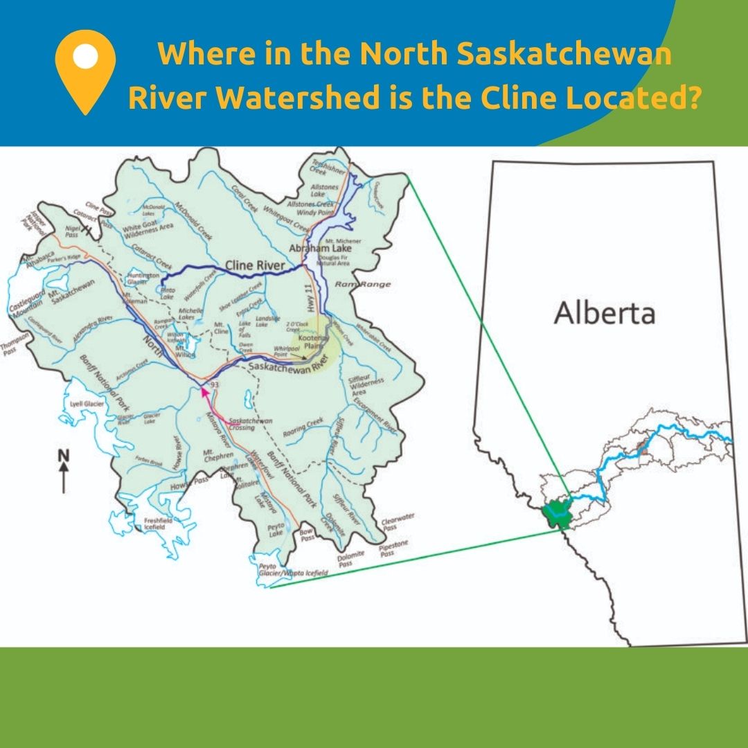
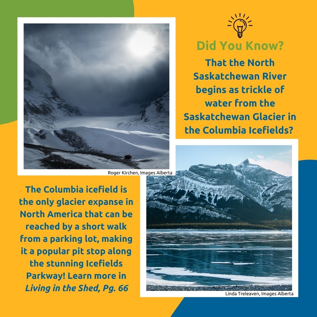
The North Saskatchewan River starts in the Cline subwatershed at the toe of the Saskatchewan Glacier in the Columbia Icefields in the Rocky Mountains. This subwatershed is shared between Banff National Park and Clearwater County. There are no urban centres.
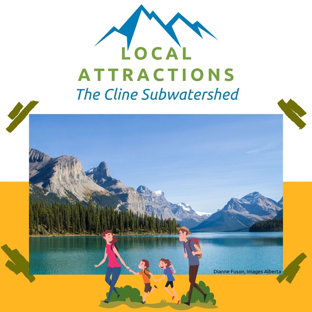
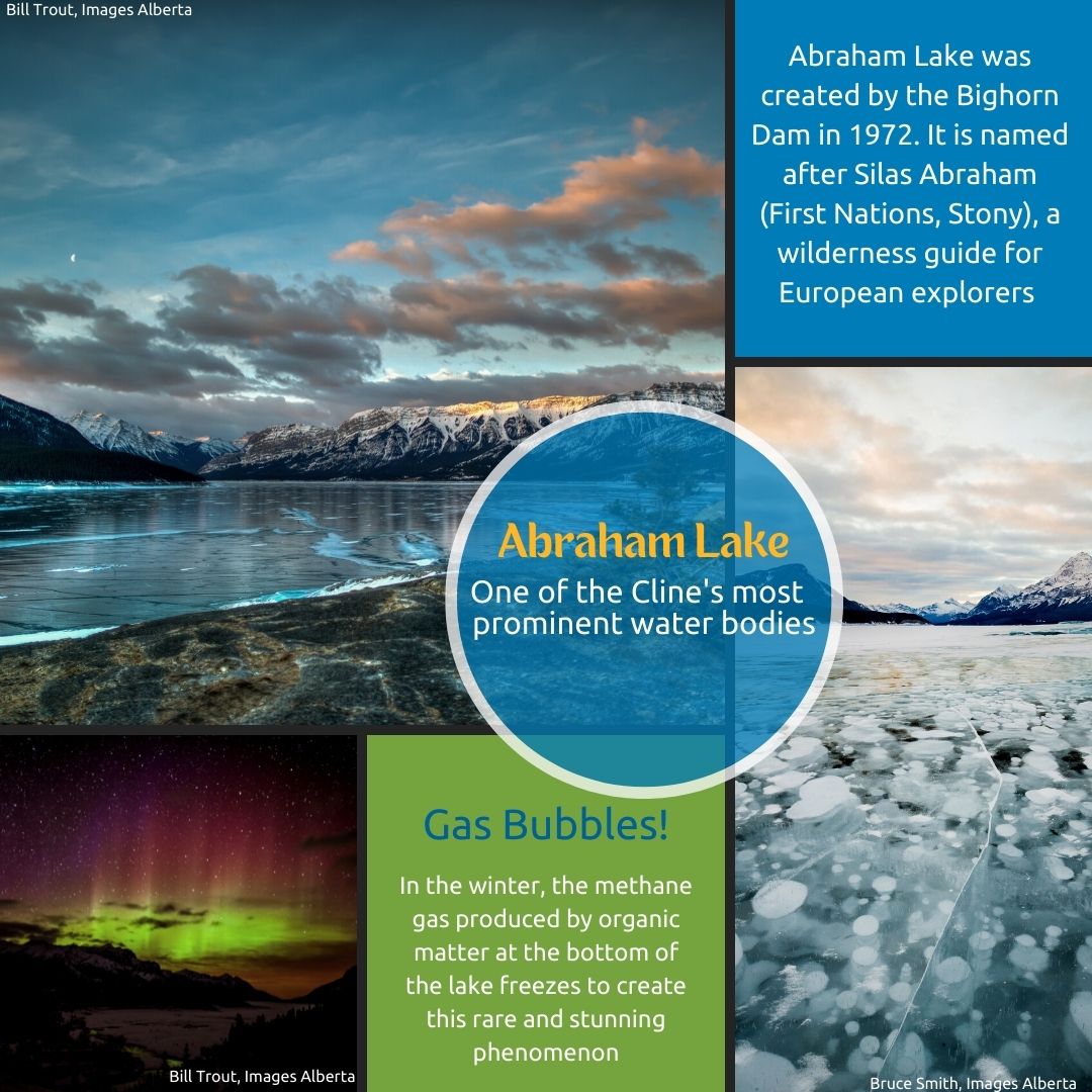
The Cline subwatershed is a dry, windy, rocky area, excellent for a variety of recreational activities such as fishing, hiking, skiing, canoeing, rafting, and rock-climbing.
Aside from recreation, there is little human activity in the Cline subwatershed. 60% of it is within Banff National Park and two wilderness areas (White Goat Wilderness Area & Siffleur Wilderness Area). This location contributes to the Cline subwatershed being the healthiest of the North Saskatchewan River’s 12 subwatersheds. Studies on land use, water quality, water quantity, and presence of a wide variety of plants and animals in the region suggest the subwatershed is thriving.
for more information
For more details about the Cline subwatershed, check out the Cline chapter in the North Saskatchewan River State of the Watershed Report.
The Cline is one of six subwatersheds focused on by THE HEADWATERS ALLIANCE, a team of rural and urban municipalities dedicated to improving the health of the upper North Saskatchewan River watershed.

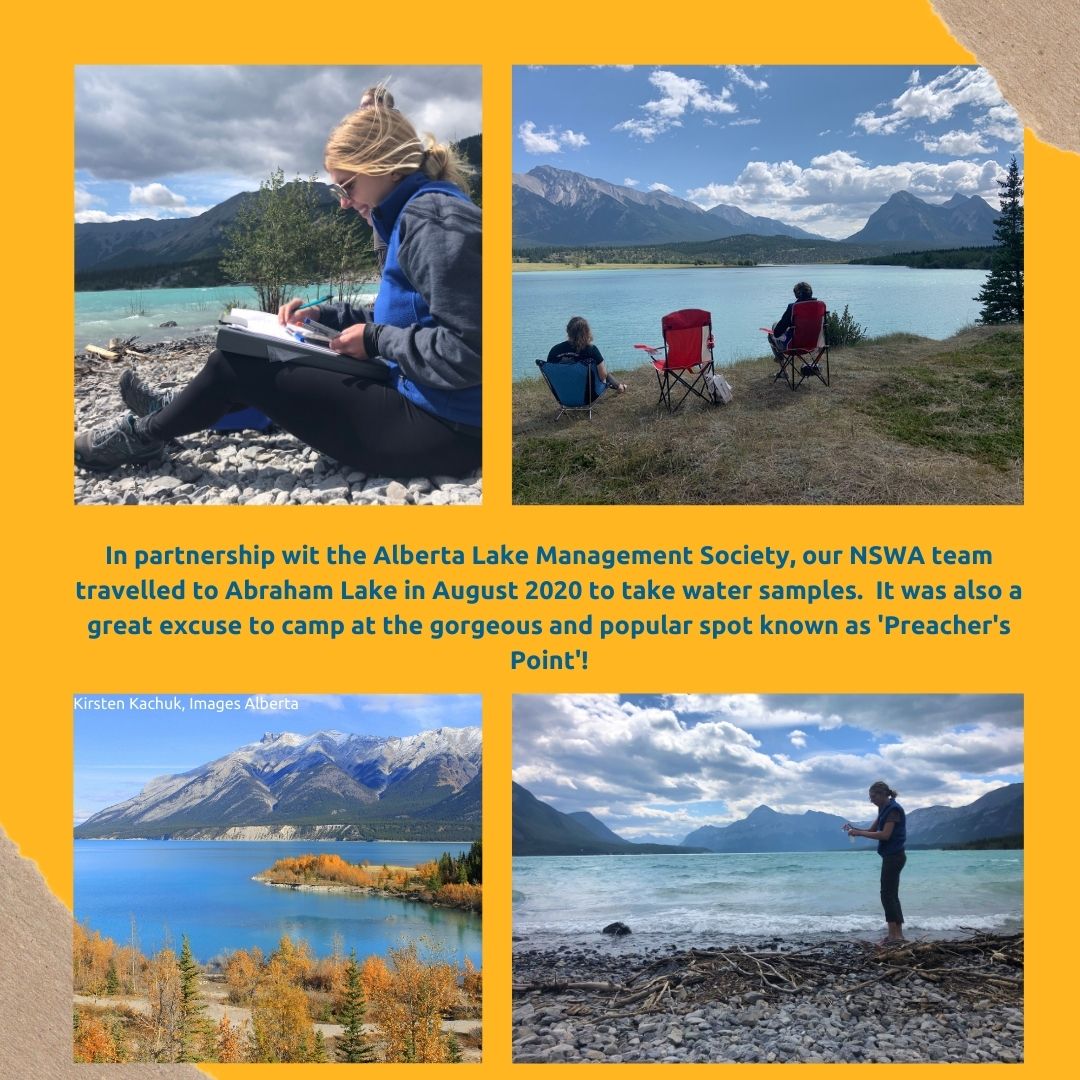
Cline Subwatershed Photos


")


