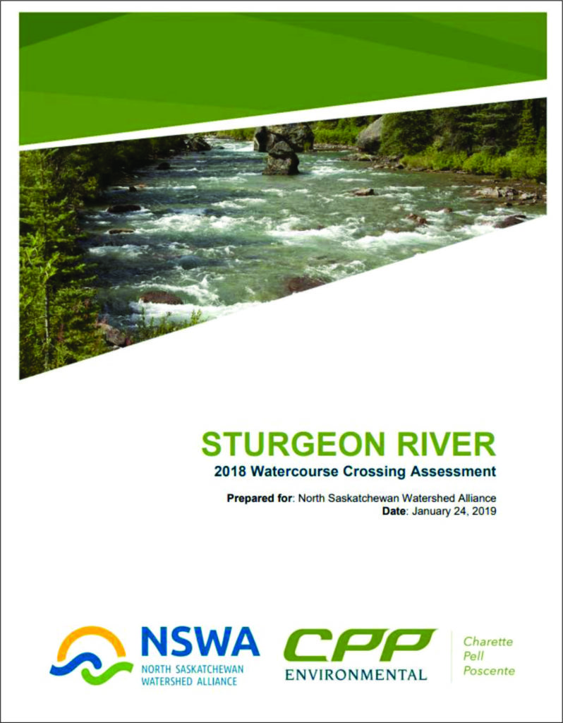
 The Sturgeon River is a tributary of the North Saskatchewan River flowing west to east, from its headwaters near Hoople Lake to its confluence with the North Saskatchewan River near the City of Fort Saskatchewan, Alberta. The Sturgeon River and its tributaries are traversed by many watercourse crossings (bridges, culverts) that require monitoring and maintenance to prevent watershed fragmentation.
This stream crossing assessment documents crossing conditions to determine whether the replacement and/or maintenance of crossings are required.
73 pages, including: Introduction, Methods, Results, Recommendations, References, Glossary, Overview Map, and Low Risk Watercourse Crossing Overview Map and Field Sheets.
34 pages (a continuation of Low Risk Field Sheets).
33 pages (a continuation of Low Risk Field Sheets).
154 pages, including: a continuation of Low Risk Field Sheets and Medium Risk Watercourse Crossing Overview Map and Field Sheets.
52 pages, including: a continuation of Medium Risk Field Sheets and High Risk Watercourse Crossing Overview Map and Field Sheets.
